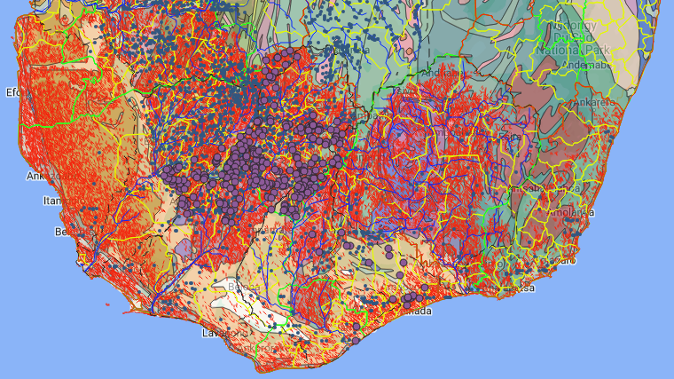
The hydrogeologists of BushProof, drawing on over 15 years of experience working in southern Madagascar, and with the support of Swiss Humanitarian Aid (SHA), have proposed to work on the knowledge of the aquifers of southern Madagascar. It was thus decided to carry out the necessary work to collect existing data, to check them, to acquire important and missing data, to create a reliable database and to create a useful cartographic tool, in order to improve the knowledge of the functioning of the groundwater of Southern Madagascar. The database will include all information useful to the work of the water sector in the area. The cartographic tool, which is now almost complete, will be made accessible to all and will be put online in the first quarter of 2023.

