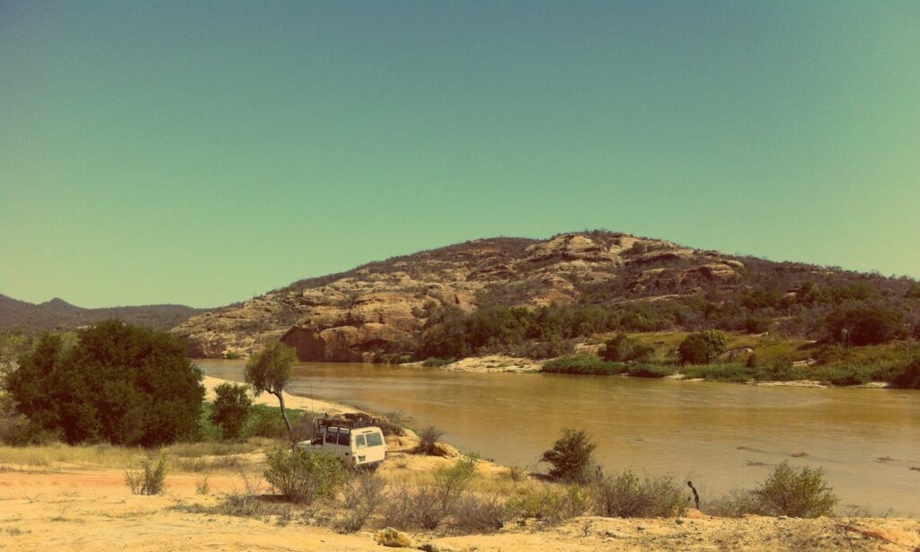
Our GIS tool on the groundwater of the South of Madagascar is now online and accessible here. The background of the project and the data are presented in the accessible documents, and the geopackages (Q-GIS) and some thematic maps can be downloaded there.
We are really hoping this project will be useful and used by all actors who have interest in groundwater of the Southern Madagascar.
This project, intended for all the actors of the water sector in Madagascar, could be realized thanks to the support of the Swiss Agency for Development and Cooperation (SDC), which we thank very much ! We hope that this project will be useful and used in the future.